The Cwmtydu Circular, Cliffs, a Fort and a Hidden Valley
Distance: 6.4 miles / 10.3 km, circular
Time: 3.5 to 4 hours
Grade: Moderate
Map: OS Explorer 198, New Quay & Aberporth
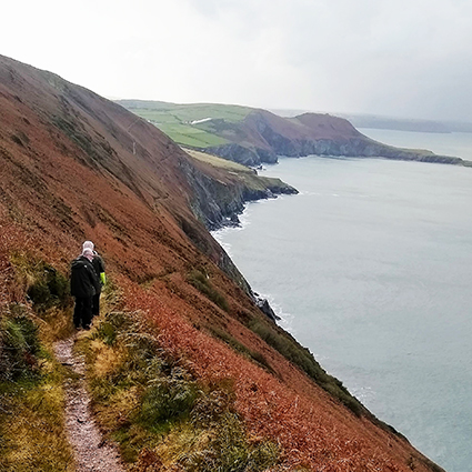
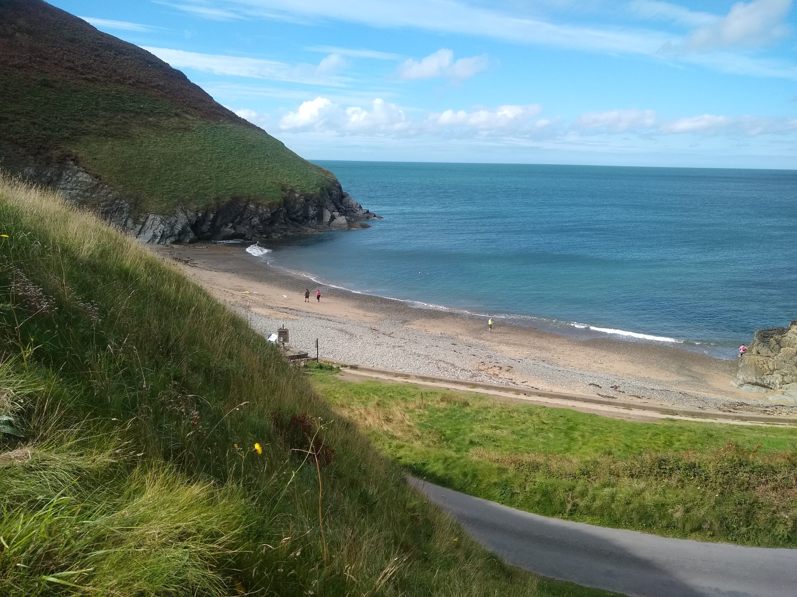
This route leaves Cwmtydu beach, climbs south on the Wales Coast Path, and returns inland through one of Ceredigion’s quiet wooded valleys. From the cove the path rises steeply, then eases onto open clifftop with wide views across Cardigan Bay, sometimes as far as the Llŷn Peninsula on a clear day.
Above Cwm Silio you walk past the eroding ramparts of Castell Bach, an Iron Age hillfort now perched on the cliff edge. The path then drops to the stony beach at the mouth of the River Soden, where grey seals are often seen from the cliffs. Please watch from a distance and avoid disturbing them.
The return leg turns inland through Cwm Silio, a sheltered valley with spring wildflowers and one of the few Welsh sites for pearl-bordered fritillary butterflies in late April and May. Waymarked field paths and two small footbridges bring you back through woodland and lanes to Cwmtydu, with clifftop, archaeology, coastal geology and ancient woodland all in a half-day circuit.
Wildlife you might see: grey seals, choughs, gannets, peregrine falcons, fritillary butterflies, guillemots.