Cwmtydu to Llangrannog, The Finest Miles on the Path
Distance: 5.9 miles / 9.4 km one way
Time: 3 to 3.5 hours
Grade: Strenuous
Route type: Point to point, return by bus
Map: OS Explorer 198, New Quay & Aberporth
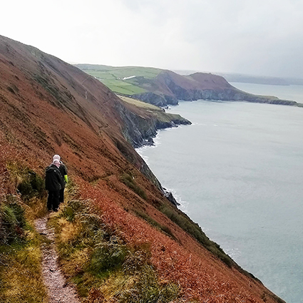
This is a serious but rewarding section of the Ceredigion Coast Path, heading south from Cwmtydu to Llangrannog. The path climbs quickly to the 200-metre cliffs of Penmoelciliau, where it has been cut into the rock to form a narrow ledge with steep drops to the sea and cliffs rising above. It is an impressive piece of engineering, but it can feel exposed and is not recommended for anyone unsteady on their feet.
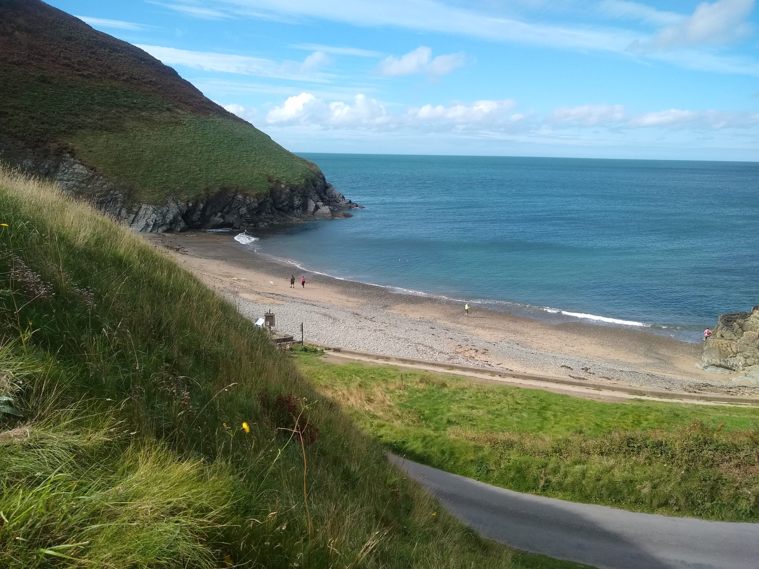
Beyond Penmoelciliau the route undulates past small coves before dropping towards Lochtyn headland. Ynys Lochtyn, a tidal island that forms the logo of the Ceredigion Coast Path, projects into the bay at the end of a narrow neck of land. Above it sits Pendinas Lochtyn, an Iron Age hillfort defended on three sides by sheer cliffs. At low tide it is sometimes possible to cross onto the island; always check conditions and tides and take care near the edge.
On clear days the views sweep across Cardigan Bay from Snowdonia to Pembrokeshire, and dolphins are regularly seen in the waters below. From Ynys Lochtyn it is a steady descent into Llangrannog, with beach, cafes and pubs. A local pizzeria is well known for its wood-fired pizzas, and many walkers plan their timings around a meal here before catching the Cardi Bach bus back towards New Quay and Cwmtydu. Check current timetables with Ceredigion Tourist Information before you set out.
Wildlife you might see: bottlenose dolphins, grey seals, choughs, wild ponies on the clifftops.